Oh I’m certain it’s still there for their use.
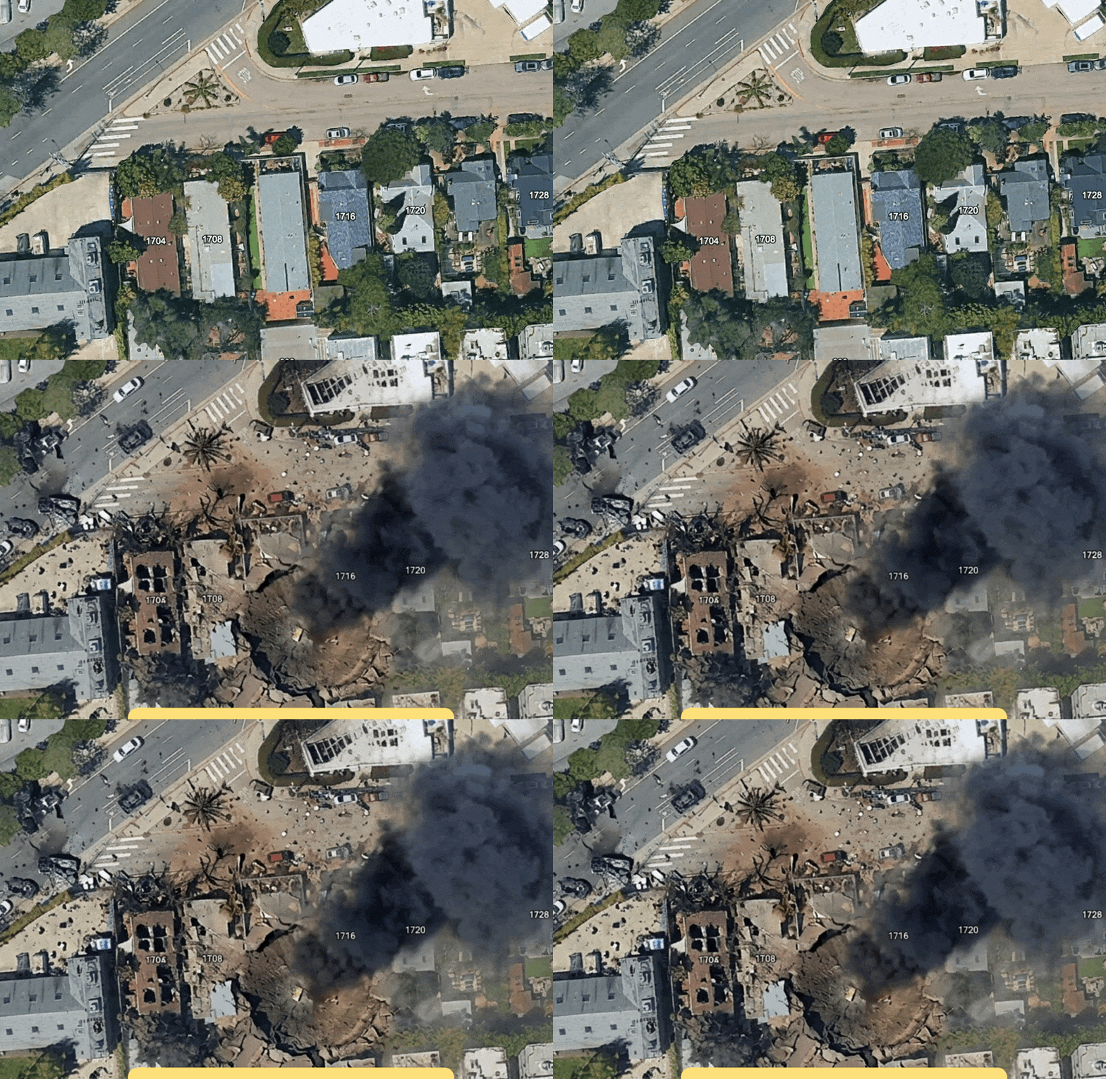
I wonder what’s stopping someone from just making a screen grab of a Google Maps satellite view and feeding it to one of the many AI image generators.
This is old news; backlash was immediate and the “feature” was rescinded.
Google is run
myby assholes and idiots. Break it apart.Edit: fixed silly typo
Google runs your asshole and you want it broken apart? That’s pretty wild dude
It might have been that plan all along, but now you can’t tell someone to just google it. You can’t believe google results anymore.
Those are balls.
This close, they always look like landscape. But nope, you’re looking at balls.
Are those balls? 'Cause the last time we were here, they were balls.
wow…! people is using a feature that allows you to modify the appearance of a location anywhere on earth to add craters to places!! truly an unforseeable tragedy.
Eh, this one’s fixable, because you only have a few sources of legit imagery, and it’s all contemporary and digital. Just have Google Earth render the image server-side and add a cryptographic signature to any legit satellite images that someone saves.
You can have AI-generated satellite imagery and image-is-proof satellite images coexisting. Can’t do that for most images, but for this particular niche, you can.
Nobody is gonna do all that.
I mean, it does seem fun. I don’t want to turn it off. But maybe insert a hash into the image that makes it clear it’s fake
Nano banana!