


African Union has proposed a resolution to UN to replace the Mercator map with Equal Earth map, which represents countries’ sizes more accurately.
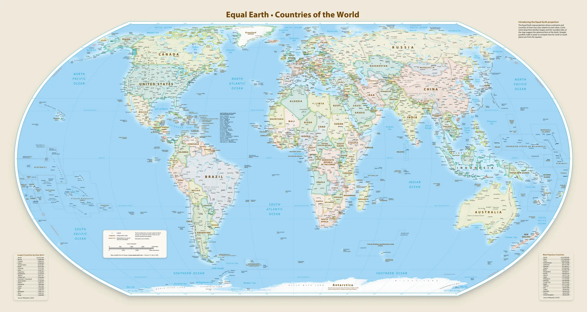
The resolution passed with 164 in favor, 1 against, 6 abstained.
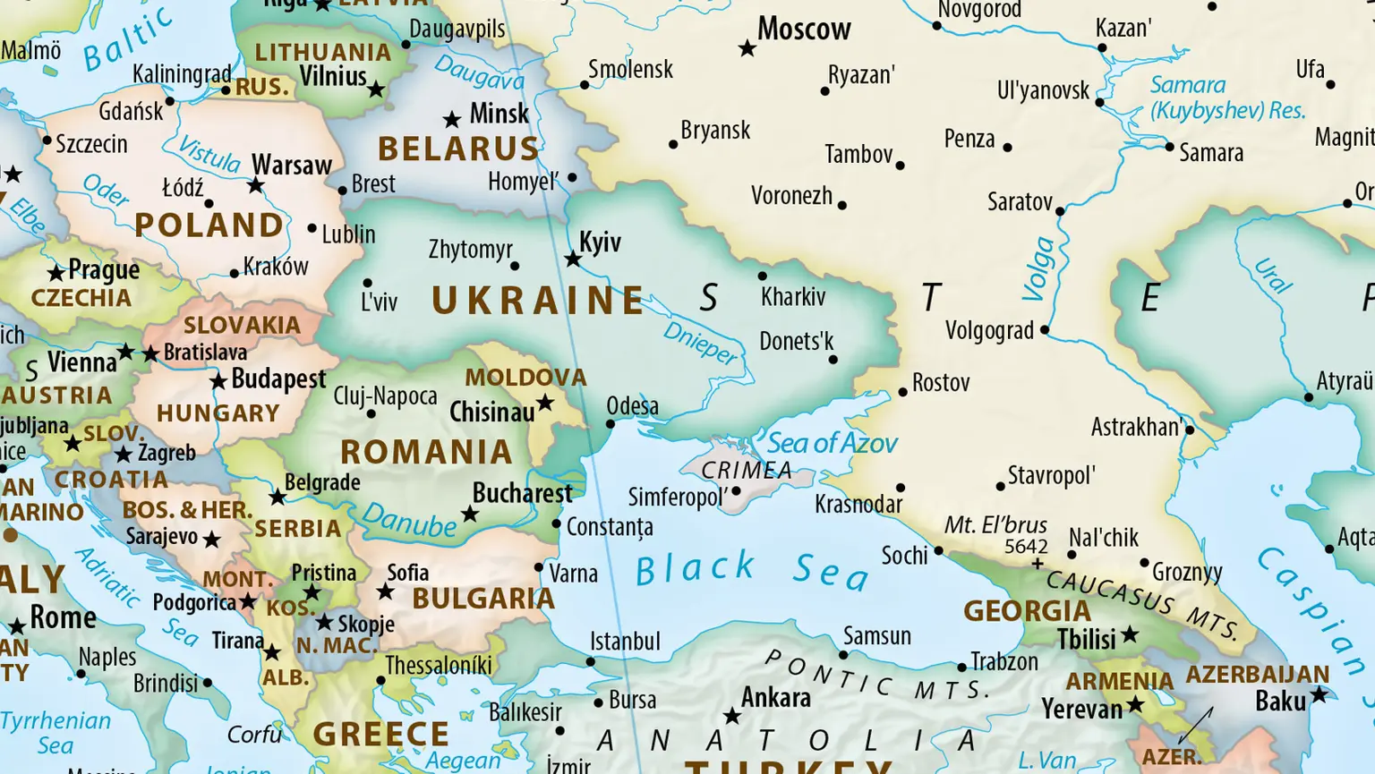
One of the countries that abstained is Ukraine, as the proposed map had Crimea marked as neutral territory.
Such a map has a lifetime of barely 24h.
I don’t know about that. The frontline has barely moved in the last 2-3 years or so.
Especially if we zoom out and look at the world map, small towns changing hands wouldn’t be visible on a map of that scale